|
Click here to transmit an email to the authors with corrections or
updates. Please include your name and telephone number for the
authors so they may communicate with you if there are questions. If
you wish to speak with the authors by telephone, call 520-432-5783.
. . . Thank you . . .
Grassland Information
Visit Date: 9/6/2011
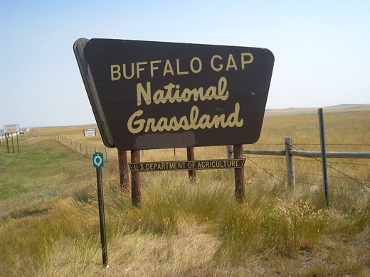
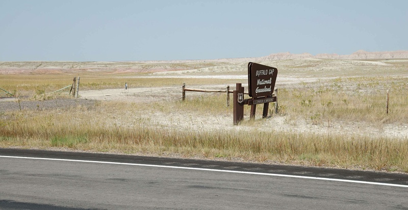
Buffalo Gap National Grassland (NG) is located in southwestern
South Dakota, surrounds the Badlands National Park and is
comprised of 597,178 acres. It is administered by the Nebraska
National Forest supervisor's office, Rocky Mountain Region. The
grassland has no developed campgrounds.
The grassland is named for the only break in a ring of foothills
around the neighboring Black Hills mountain range. Bison
traveled through this gap in their migrations between the Hills
and prairies and thus the name. A patchwork of federal, state,
and private land, Buffalo Gap NG is composed of rolling prairie,
woodland draws, and dramatic rugged badlands. It offers a range
of recreational opportunities from hiking to birdwatching,
dispersed camping to scenic drives, hunting to photography, and
more.
The Buffalo Gap NG was settled in the 1800s under a variety of
"Homestead Acts," which opened the land to people, generally
farmers, and helped to settle the west. A prolonged period of
drought in the late 1920s into the 1930s caused some homesteads
on sub-marginal (a location receiving 15 or fewer inches of
annual moisture) farmland to literally dry up. During this time,
Congress established the Land Utilization Program (LUP) which
bought homesteads from bankrupt private owners and returned them
to public land status. In the 1950s, the LUP holdings were
assigned to the USDA Forest Service that was tasked with
management of these sub-marginal lands. Over the years the
Forest Service has established some twenty National Grasslands,
including Buffalo Gap, from sub-marginal lands. "The designation
of the area as National Grassland is not a description of the
area as much as a statement of policy and effort to restore the
area to a multiple of uses and benefits."
One indicator of the Buffalo Gap NG success in helping the land's
recovery is the reintroduction of the Black-footed ferret. The
Buffalo Gap NG is said to be the site of the most successful
Black-footed ferret reintroduction program undertaken by the
federal government. Now, there are small but sustainable
populations established in several Prairie dog colonies or dog
towns on the grassland.
Visitors can spend hours watching a Prairie dog colony and the
interaction of associated animals such as badgers, coyotes, swift
fox, pronghorn, burrowing owls, golden eagles and numerous species
of hawks. These colonies, while not welcomed by ranchers, are a
natural part of the grassland and provide hours of viewing for
visitors. A word of caution, although Prairie dogs are cute and
fun to watch, they can carry various illnesses dangerous to both
humans and our pets. Maintain a safe distance from these cute
critters and NEVER touch one whether alive or dead. It is
suggested, if you walk through a Prairie dog colony, spray a
quality DEET product on your clothes and shoes as a repellent to
ticks and fleas; fleas are the primary vector for plague bacteria.
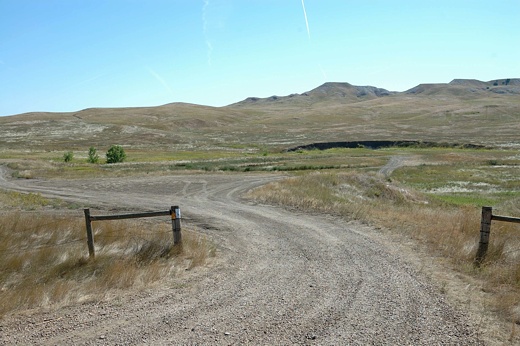
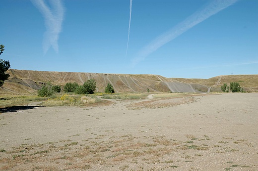
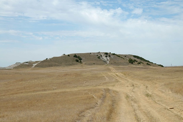
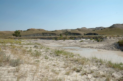
One place that draws people to Buffalo Gap NG is the Indian Creek
area. Isolation and solitude are prime features of this area,
attracting backcountry visitors. The peace and quiet of this
place are interrupted only by the scream of a hunting hawk and
bawling of a wayward calf. Rock hounds, looking for Fairburn
agates, and searchers of invertebrate fossils are discovering the
possibilities of this location. Indian Creek offers many
possible dispersed camping sites (see table, below) but the
access road into the valley usually requires a sturdy, high-
clearance vehicle.
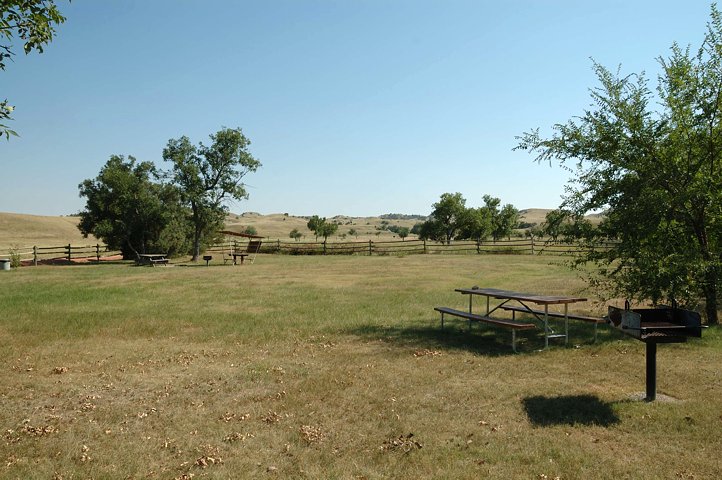
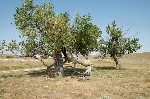
The French Creek Picnic Area is the nearest thing the grassland
has to a developed campground and it has plenty of space for all
types of campers. A large adjacent flat field is great for horse
campers with their trailers as well as RV campers with their big
motorhomes. Basically, the difference between camping at French
Creek Picnic Area and a dispersed campsite is the picnic area has
a vault toilet, a few picnic tables, and some shade.
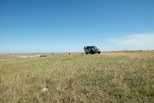
The whole Buffalo Gap NG has lots of wide-open spaces that lends
itself not only to dispersed camping but to exploring on
horseback as well as foot. However, the grassland has few
developed and designated trails. One developed trail is the
Prairie Bike Trail. This mountain bike trail has two loops
totaling 14 miles across a rough native soil surface. Its trail
head is near the Minuteman Missile National Historic Site at exit
116 on Interstate 90.
Over 100 species of animals are found on the Buffalo Gap NG.
Nature has adapted these animals to life on the grassland. Each
animal has the right coloration and behavior patterns to survive
in one or more of the habitats found on the grassland. Some of
the "watchable" wildlife include Prairie dogs, mule and whitetail
deer, pronghorn, prairie vole, snakes, coyotes, badgers,
jackrabbits, gophers, lizards, porcupines, Red fox and scores of
birds. Simply put, wildlife and bird-watching are great and a
photographer will have fun capturing Buffalo Gap's many
personalities.
The Buffalo Gap NG doesn't have a lot of developed recreational
opportunities and there are no developed campgrounds. A few
suggested dispersed campsites can be found in the table below.
However, most areas of the grassland are open to camping. The
grassland's Motor Vehicle Use Map (MVUM) identifies routes where
dispersed camping with a vehicle is permitted and there are many.
What this grassland does have is lots of space, few crowds,
endless horizons, and recreation possibilities limited only by
your imagination.
ADDRESSES
SUPERVISOR ADDRESS
125 North Main Street
Chadron, Nebraska 69337
308-432-0300

RANGER DISTRICT ADDRESS
Wall
708 Main St.
POB 425
Wall, SD 57790
605-279-2125
DISPERSED CAMPING LOOKUP TABLE*
| Name |
GPS Coordinates |
Comments |
| Steer Pasture Overlook |
N43 54.741,
W102 13.568
Elev. 3000' |
Located on rim between grasslands and Badlands; easy access to Badlands NP; high clearance vehicles |
| Railroad Butte West - 1 |
N43 54.578,
W102 51.430
Elev. 2800' |
Popular off-road area; smallest of three sections; any size RV |
| Railroad Butte West - 2 |
N43 54.323,
W102 51.535
Elev. 2800' |
Adjacent to ". . . West_1", popular off-road w/many trails, any size RV on flat, hard dirt area |
| Limestone Butte |
N43 10.320,
W103 10.837
Elev. 3400' |
In the middle of nowhere; surrounded by grass and cows; some junipers but bring shade; tent & high clearance vehicles |
| Limestone Butte Reservoir |
N43 09.616,
W103 09.807
Elev. 3300' |
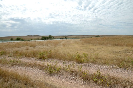
On the banks of reservoir; good bird watching; tent or high clearance vehicles |
| French Creek Picnic Area |
N43 39.711,
W103 01.351
Elev. 3000' |
nice picnic/campground w/shade trees; designated tent sites; vault; open field parking for RVs/horse campers; near Fairburn agate rock site(s) |
| Baja Off Road Area |
N43 42.669,
W102 06.069
Elev. 2433' |
Well suited for off road enthusiasts, parking suitable for any size RV or tent adjacent to State Rt. 44. |
| Indian Creek Area - campsite 1 |
N43 45.097,
W102 39.866
Elev. 2600' |
Scenic drive, rock hounding, geological sites, tents or slide-ins w/4-wheel drive vehicles |
| Indian Creek Area - campsite 2 |
N43 45.281,
W102 39.999
Elev. 2600' |
Scenic drive, rock hounding, geological sites, tents or slide-ins w/4-wheel drive vehicles |
Click on a site name for picture.

*The following are suggested dispersed campsites.
However, subject to Forest Service rules, one can
camp most anywhere on the grassland.

(Return to Top)
|


